
Most rural counties in Connecticut
Most rural counties in Connecticut
A surprising number of U.S. counties have 100% rural land—702, in fact. Stacker compiled a list of the most rural counties in Connecticut using data from the U.S. Census Bureau. Counties are ranked by the percent of land area that is rural, as of the 2010 Census, with ties broken by residents per square mile, according to 2019 5-year population estimates.
According to the Census Bureau, rural land encompasses any land that isn't an urban area. To be considered an urban area, a place has to have a densely settled core of census tracts or blocks and count at least 2,500 people, at least 1,500 of whom must be residents of non-institutional buildings. Areas with 50,000 people or more are considered urbanized areas, while areas with between 2,500 and 50,000 people are considered urban clusters.

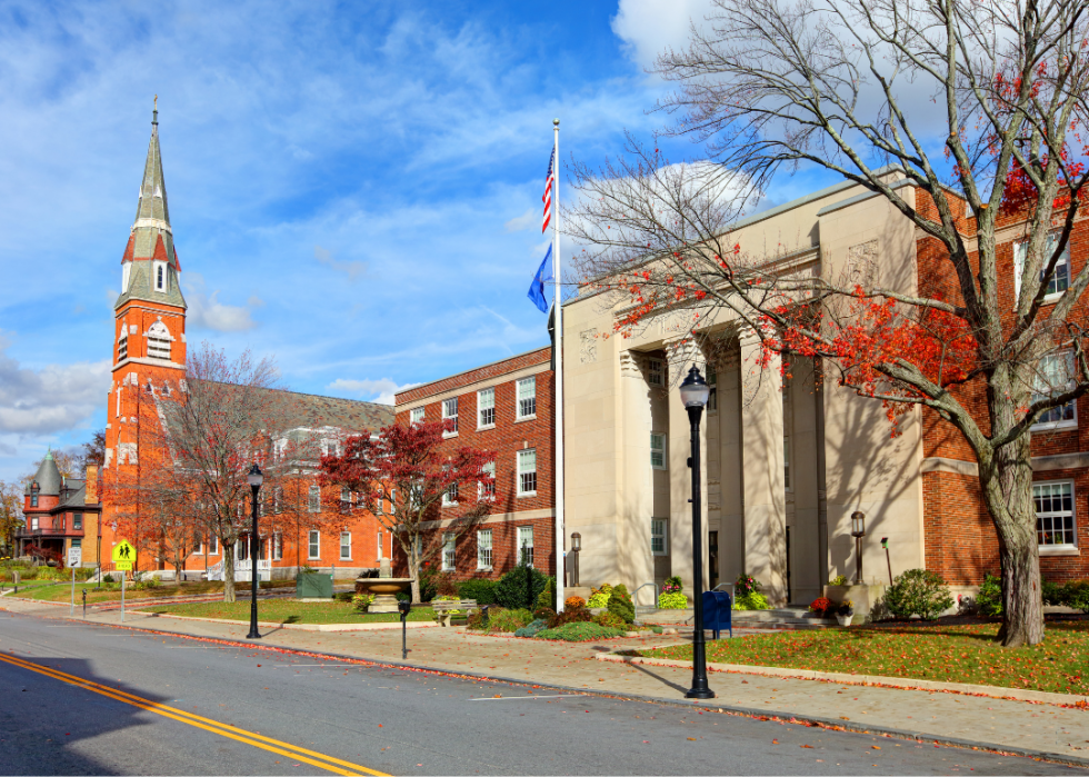
#8. New Haven County
- Rural area: 27.7% (167 square miles)
- Urban area: 72.3% (437 square miles)
- Total land area: 605 square miles
--- #5 largest county in state, #1,608 nationwide
- Population density: 1,418.5 people / square mile (857,513 residents)
--- #7 lowest density county in state, #3,037 nationwide

#7. Fairfield County
- Rural area: 29.2% (182 square miles)
- Urban area: 70.8% (443 square miles)
- Total land area: 625 square miles
--- #4 largest county in state, #1,541 nationwide
- Population density: 1,510.5 people / square mile (943,926 residents)
--- #8 lowest density county in state, #3,045 nationwide

#6. Hartford County
- Rural area: 37.9% (279 square miles)
- Urban area: 62.1% (457 square miles)
- Total land area: 735 square miles
--- #2 largest county in state, #1,201 nationwide
- Population density: 1,215.6 people / square mile (893,561 residents)
--- #6 lowest density county in state, #3,017 nationwide

#5. Middlesex County
- Rural area: 70.1% (259 square miles)
- Urban area: 29.9% (110 square miles)
- Total land area: 369 square miles
--- #8 largest county in state, #2,631 nationwide
- Population density: 441.5 people / square mile (163,053 residents)
--- #5 lowest density county in state, #2,853 nationwide

#4. New London County
- Rural area: 77.0% (512 square miles)
- Urban area: 23.0% (153 square miles)
- Total land area: 665 square miles
--- #3 largest county in state, #1,413 nationwide
- Population density: 402.2 people / square mile (267,390 residents)
--- #4 lowest density county in state, #2,831 nationwide

#3. Tolland County
- Rural area: 78.9% (324 square miles)
- Urban area: 21.1% (87 square miles)
- Total land area: 410 square miles
--- #7 largest county in state, #2,461 nationwide
- Population density: 368.3 people / square mile (151,063 residents)
--- #3 lowest density county in state, #2,790 nationwide
#2. Litchfield County
- Rural area: 89.8% (827 square miles)
- Urban area: 10.2% (94 square miles)
- Total land area: 921 square miles
--- #1 largest county in state, #793 nationwide
- Population density: 197.7 people / square mile (182,002 residents)
--- #1 lowest density county in state, #2,594 nationwide

#1. Windham County
- Rural area: 90.9% (466 square miles)
- Urban area: 9.1% (47 square miles)
- Total land area: 513 square miles
--- #6 largest county in state, #2,029 nationwide
- Population density: 227.3 people / square mile (116,566 residents)
--- #2 lowest density county in state, #2,638 nationwide


